Hurricane Rita Photos, Sep. 22, 2005 (Archived)
http://educate-yourself.org/cn/RECCOritadata2308GMTB22sep05.shtml
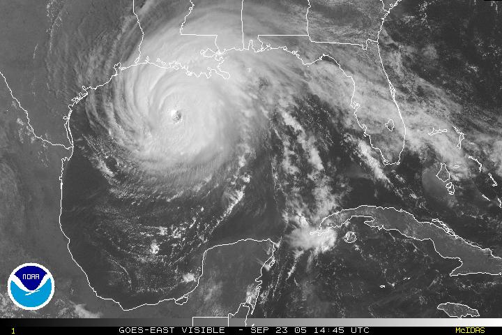
Sep. 23, 2005 10:45 Am EDT Winds 140 mph (CNN)
Sep. 22, 2005 10:45 PM EDT Winds = 140 mph (CNN) 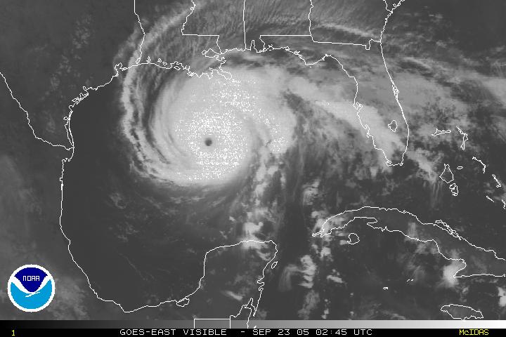
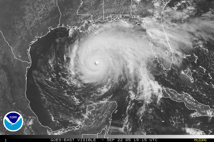
Sep. 22, 2005 (19:15GMT = 3:15 PM Eastern Daylight Time) Winds = 150 mph (CNN) ; now Category 4 Hurricane
Note:**National Hurricane Center RECCO as of 1758GMT (1:58 PM EDT) report winds for Rita to be 100 mph at the altitude of 5774 feet (altitude of the monitoring aircraft) Lat. = 25.1 North, Long. = 89.0 West
(see http://www.nhc.noaa.gov/text/MIAREPNT0.shtml? for the raw data.
see http://www.hurricanehunters.com/recco.htm for instructions on how to decode the data)
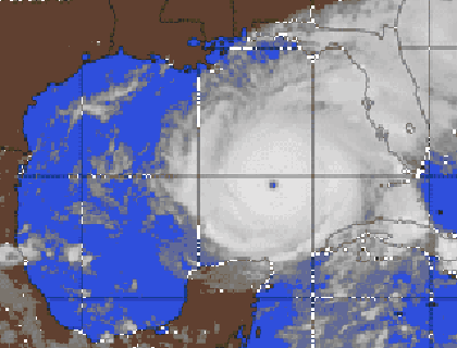
Sep. 22, 2005 1315GMT = 09:15 AM EDT

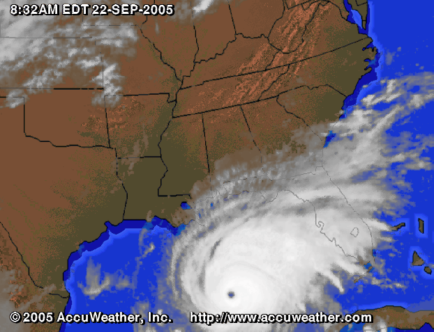
8:32 AM EDT (Winds = 170 mph)
7:30AM EST (Winds = 175 mph)
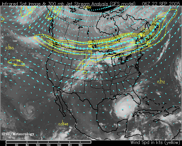
Satellite jetstream and wind map 0600 GMT (02:00 AM EDT) Sep. 22, 2005